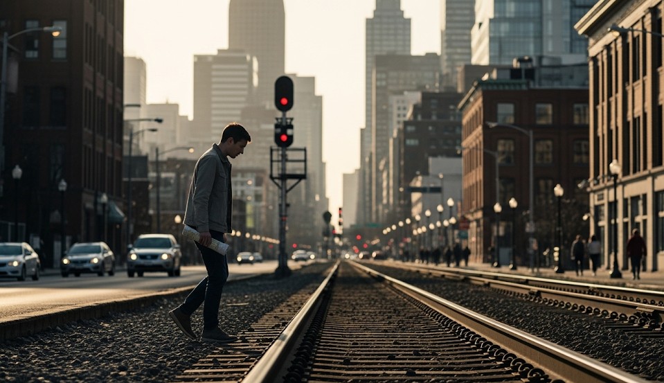
Navigating a City Without GPS
Why Urban Navigation Still Matters
Smartphone navigation is convenient until the phone battery dies, the network fails, GPS signal becomes unreliable, or emergency conditions make normal routes unusable. In a city, losing navigation can quickly become stressful because streets, transit lines, construction zones, crowds, bridges, tunnels, and closed routes create constant decision points.
Urban navigation is different from wilderness navigation. Instead of ridgelines, creeks, and valleys, you use streets, bridges, transit corridors, towers, rivers, parks, neighborhoods, and major roadways. The skill is the same at its core: know where you are, know where you are going, and choose a route that keeps you safe.
You do not need to memorize every street in a city. You need a simple method for staying oriented when GPS is unavailable.
Objective
Move through a city safely and efficiently without GPS by using street grids, landmarks, paper maps, transit routes, major corridors, and planned fallback routes.
Start With the Big Picture
Before choosing streets, understand the shape of the city. Most urban areas are organized around major features.
- Rivers
- Highways
- Rail lines
- Transit hubs
- Downtown cores
- Major parks
- Bridges and tunnels
- Large hospitals, stadiums, campuses, and towers
These large features act like urban handrails. They help you maintain direction even if individual streets become confusing.
Learn the Street Grid
Many cities use some form of grid logic. Even when the grid is imperfect, street numbering and major avenues often reveal direction.
Look for:
- Numbered streets
- Named avenues
- Odd and even address patterns
- North/south or east/west street divisions
- Major cross streets every few blocks
Once you understand how addresses increase or decrease, you can usually determine whether you are moving toward or away from your target.
Use Landmarks Like Navigation Anchors
Large landmarks help keep your mental map steady.
Useful landmarks include:
- Skyscrapers
- Water towers
- Church steeples
- Stadiums
- Hospitals
- Bridges
- Major intersections
- Transit stations
If you can see a landmark from multiple locations, it becomes a reference point for direction.
Follow Transit Corridors
Bus routes, rail lines, subway corridors, and commuter stations often connect important parts of a city even when service stops.
Transit lines can help you:
- Find major roads
- Reach known hubs
- Identify safer walking corridors
- Locate public facilities
- Move toward areas with better transportation options
When trains or buses stop running, the physical route still provides useful navigation structure.
Carry a Paper Map
A small paper city map can outperform a dead phone.
Mark important locations before an emergency:
- Home
- Workplace
- Schools
- Hospitals
- Family meeting points
- Transit hubs
- Primary and alternate routes
Keep one map at home, one in your vehicle, and one in a commuter bag if you depend on transit.
Plan Routes Before You Need Them
Emergency route planning should happen before the outage, shutdown, storm, or civil disruption.
For each common destination, identify:
- Primary route
- Alternate route
- Walking route
- Safe stopping points
- Areas to avoid after dark
A good alternate route is not just a different street. It avoids the same failure points as the primary route.
Use Rivers, Roads, and Rail Lines as Handrails
In wilderness navigation, a handrail is a feature you can follow. Cities have handrails too.
- Rivers
- Major boulevards
- Train tracks
- Greenways
- Canals
- Utility corridors
Following a major feature reduces the chance of drifting into unfamiliar side streets.
Set Checkpoints
Break a long urban route into smaller segments.
Good checkpoints include:
- Large intersections
- Transit stations
- Bridges
- Parks
- Hospitals
- Open businesses
Instead of thinking “I need to walk across the city,” think “I need to reach the next checkpoint.”
Urban Safety While Navigating
The shortest route is not always the safest route.
Consider:
- Lighting
- Crowd behavior
- Traffic conditions
- Flood risk
- Construction zones
- Closed bridges or tunnels
- Police or emergency activity
Route around problems early instead of walking directly into them.
Night Navigation
Cities feel very different after dark, especially during outages.
- Stay on larger, better-known roads.
- Avoid dark underpasses when possible.
- Do not cut through isolated alleys unless necessary.
- Keep a flashlight accessible.
- Move with others when practical.
If conditions become unsafe, stopping at a staffed lobby, hospital, fire station, or open business may be wiser than pushing forward.
Real Example
During a downtown disruption, two coworkers needed to get home after phones died and rideshares became unavailable. They used a river as a major handrail, a stadium as an attack point, and a commuter rail corridor to stay oriented. By avoiding the blocked downtown core and moving checkpoint to checkpoint, they reached a safer pickup area several miles away.
Common Mistakes
- Relying entirely on phone navigation.
- Not knowing major street directions.
- Taking shortcuts through unsafe areas.
- Failing to carry a small flashlight.
- Ignoring bridges, rivers, and transit corridors.
- Waiting until stressed to study routes.
Urban Navigation Kit
- Pocket paper map
- Small compass
- Permanent marker
- Flashlight or headlamp
- Power bank
- Cash
- Comfortable shoes
- Written contact card
10-Minute Drill
Pick one destination you visit often. Without using GPS, sketch two ways to get there and one way to walk home from there. Mark major landmarks, safe stopping points, and areas you would avoid after dark.
Repeat this drill for work, school, medical locations, and family meeting points.
Final Thoughts
City navigation without GPS is mostly about awareness, preparation, and using big features well. Street grids, landmarks, rivers, transit lines, and paper maps give you structure when electronics fail.
Learn your city before an emergency forces you to move through it under stress. A little route familiarity can turn a confusing situation into a manageable walk.
← Previous | All Articles | Next →